
Product details



Do you have any problems like this?
Focus Systems will solve that problem!
They were only looking at sales and customer 'numbers,' and overlooking the real-world trends in each region.
Area strategies, which involve major investments, are ultimately decided by "veteran intuition" and "the loudest voice."

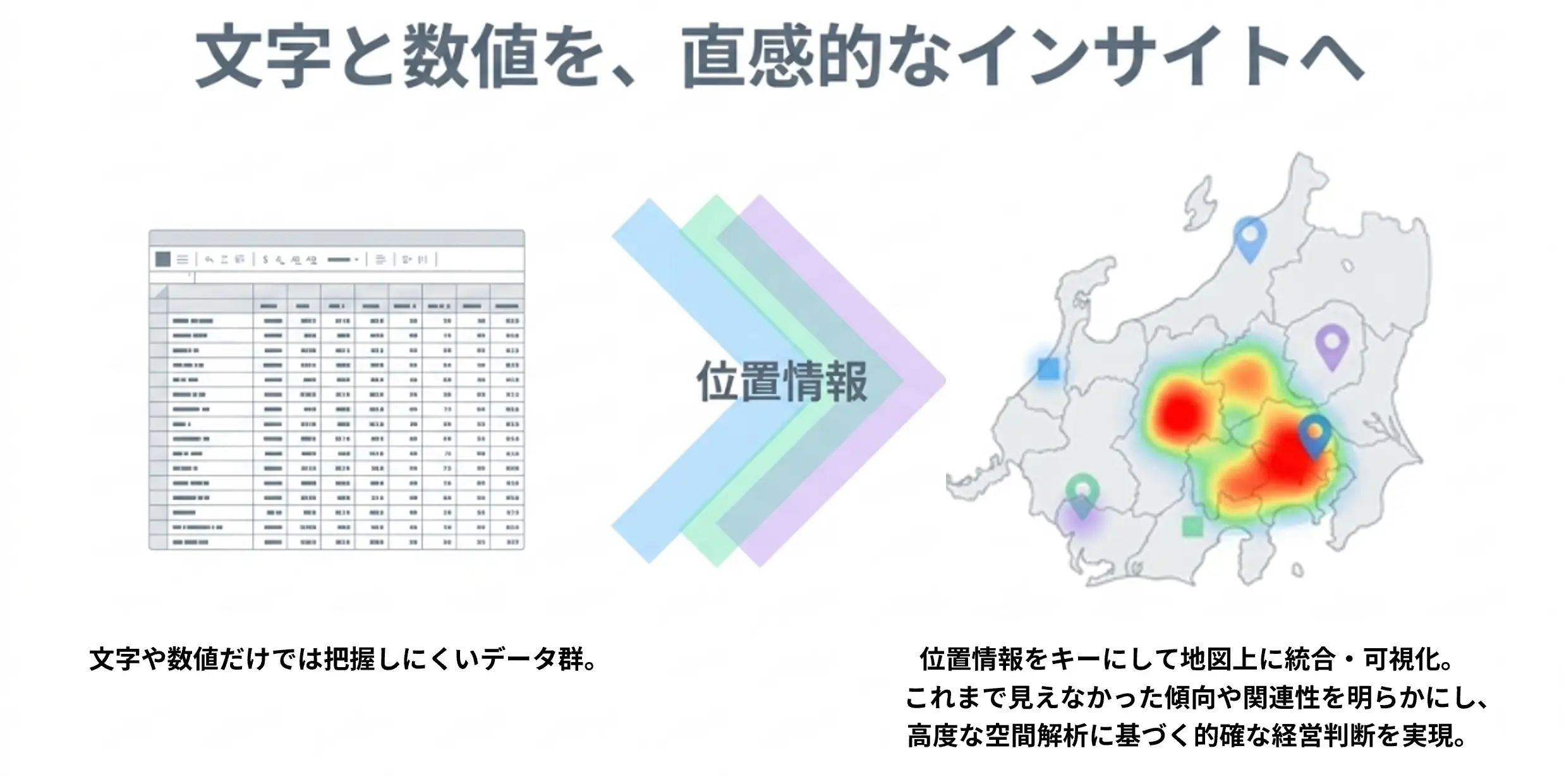
01: Combine location information to intuitively visualize data
By displaying various data such as sales, customers, facilities, and population on a map in combination with location information, it becomes possible to visually grasp regional distributions, trends, and relationships that are difficult to understand from tables and numbers alone.
02: Spatial analysis generates new insights and decision-making data.
By overlaying and analyzing multiple data sets on a map, we can identify issues and trends that are difficult to find using tables and numbers alone, supporting data-driven decision-making.
What is ArcGIS?
ArcGIS is a globally used GIS platform developed by Esri, Inc. in the United States, and distributed in Japan by Esri Japan Co., Ltd., which acts as the sole distributor.
By using geographical location as a clue, and comprehensively managing, processing, and visually displaying location-related data (spatial data), it enables advanced analysis and rapid decision-making.
Furthermore, it is used in a wide range of fields, including urban planning, disaster management, transportation planning, logistics, marketing, environmental management, and education.
As an authorized distributor (application partner) of Esri Japan, we support our customers' spatial information utilization and digital transformation, from license sales to system development and solution implementation utilizing ArcGIS.
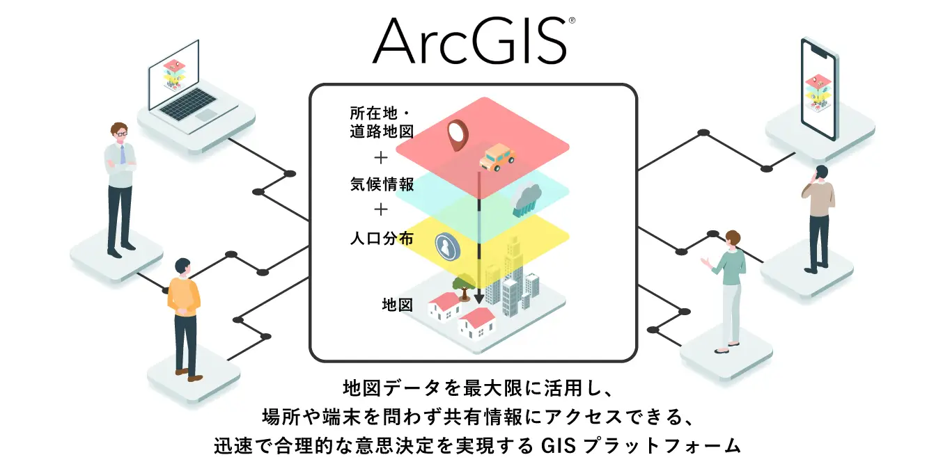
By using geographical location as a clue, and comprehensively managing, processing, and visually displaying location-related data (spatial data), it enables advanced analysis and rapid decision-making.
Furthermore, it is used in a wide range of fields, including urban planning, disaster management, transportation planning, logistics, marketing, environmental management, and education.
As an authorized distributor (application partner) of Esri Japan, we support our customers' spatial information utilization and digital transformation, from license sales to system development and solution implementation utilizing ArcGIS.
Features of ArcGIS
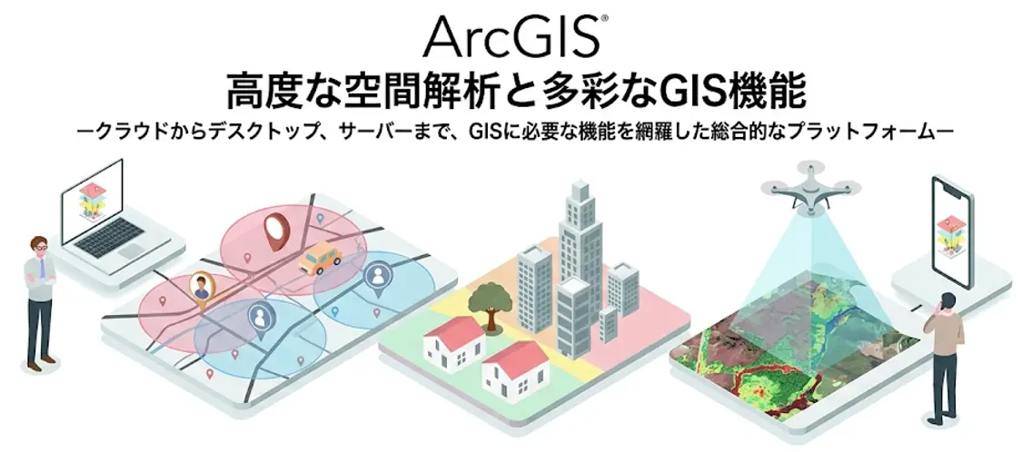
- Equipped with advanced spatial analysis functions such as reachability analysis, network analysis, and spatial statistics.
In market area analysis and other applications, it is possible to define areas according to the purpose, such as a "1km radius (buffer)," "10 minutes by car (reachable area)," or "specific town/district (polygon)," and perform analysis by combining this with regional characteristic data.
- Visualize in 3D using the 3D display function.
In addition to flat maps, it can also represent terrain topography and urban buildings in three dimensions (3D).
- Drone image processing and remote sensing compatible
We support the processing and analysis of image data acquired from drones and satellites.
Flexible product configuration to meet your needs
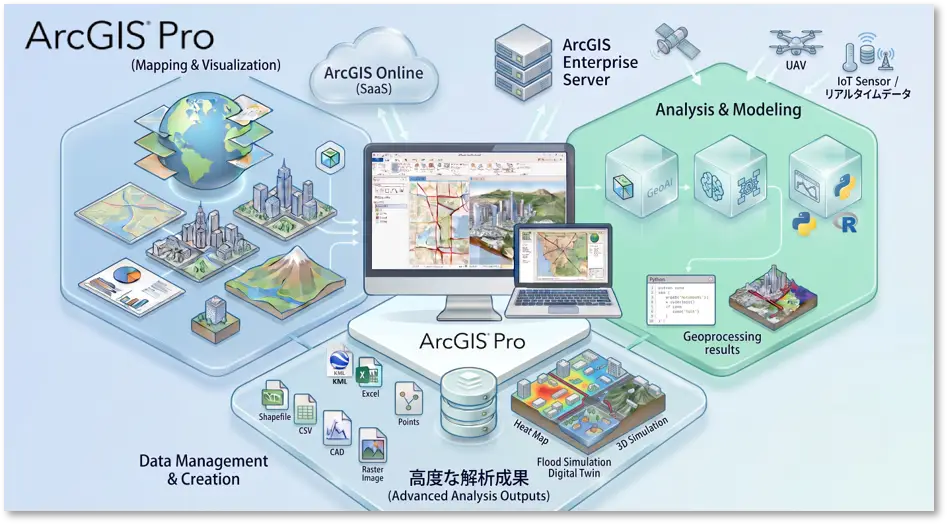
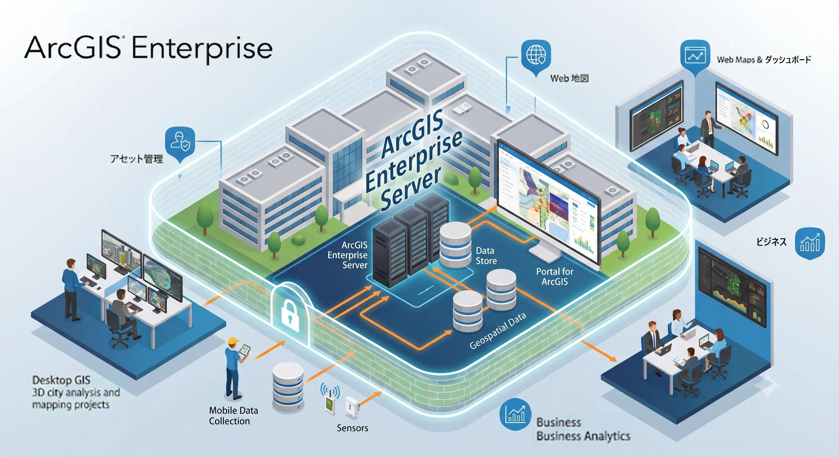
ArcGIS offers flexible deployment options tailored to your specific needs and scale of use.
 An easy-to-use, complete SaaS-based mapping platform.
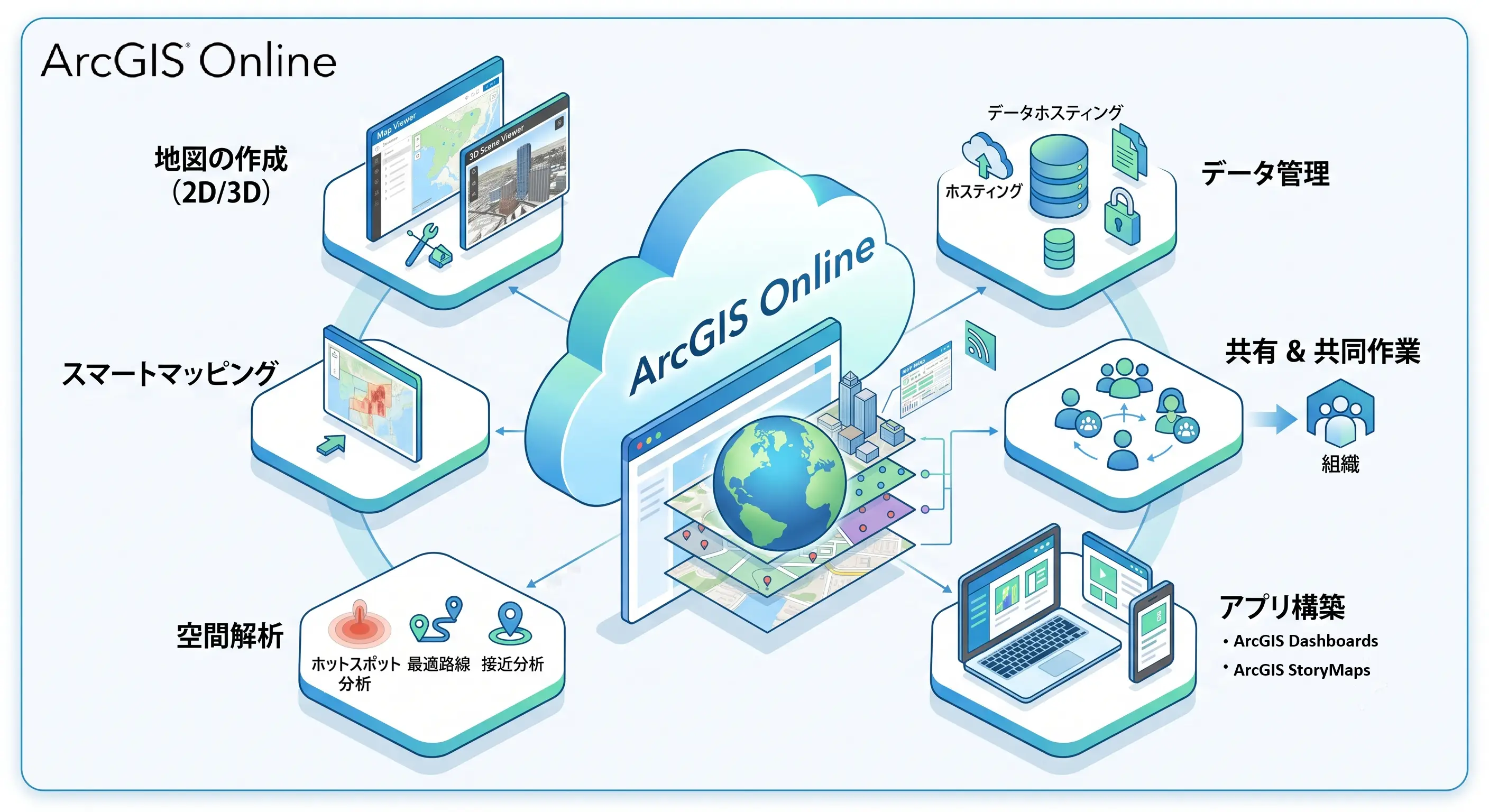
 A world-leading, high-performance desktop GIS application for mapping, analysis, and data management.
 A GIS and mapping infrastructure system that can be built in a secure environment within an organization.
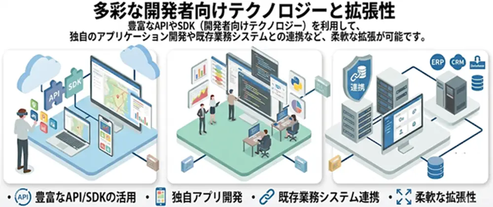
ESRI Japan's technology and track record as a partner
Advanced spatial information solutions utilizing ArcGIS and reliable implementation support.
 ESRI Japan Application Partner
Our company has entered into a business partnership agreement with ESRI Japan, and we resell ArcGIS products and provide solutions. We support the enhancement of corporate value through the utilization of spatial information technology.
ArcGIS Implementation Case Studies

Our company participates in system development using ESRI Japan's ArcGIS in government projects. We have built a solid reputation for technical expertise and reliability in numerous projects, including successfully completing highly complex system modifications in a short period of time.
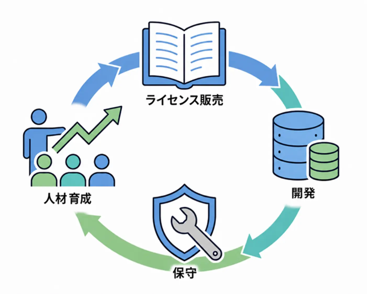
We provide comprehensive support, from license purchase to development and operation.
We provide comprehensive support, from reselling software licenses to customization, design, development, and maintenance tailored to your specific needs. Even after implementation, we support the retention of GIS knowledge and personnel development, ensuring long-term support for your business.
Focus Systems will provide system implementation and licensing services to customers in various industries, utilizing technology based on a proven track record.
For inquiries regarding purchasing ArcGIS product licenses, new implementations, or consultations on using ArcGIS, please feel free to contact us using the inquiry form below.
inquiry
Achievements left behind
It's been 50 years since the company was founded.
Our track record is a result of focusing on what is important to us.
We have a proven track record in both the public and private sectors.
Number of projects per year
500 PJ
Annual number of business partners/customers
200 companies
Maximum number of trading years
49 years
Total number of qualified persons
2,133 people